
Land Mapping
What we offer
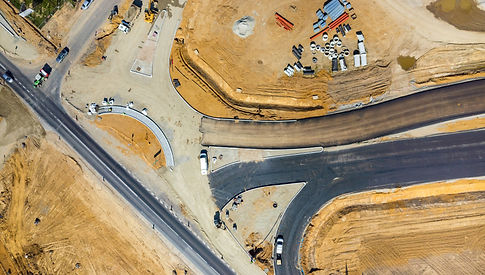
High Accuracy
Using state of the art RTK systems we can provide high accuracy images. With the ability to take measurements and annotate as needed.
Efficency
The added efficiency of speed and requirement of of less man hours makes aerial surveys very efficient.
High Resolution
The added efficiency of speed and requirement of of less man hours makes aerial surveys very efficient.


What we can provide
We aim to provide a custom service to clients, to ensure we fore fill their needs.
-
Interval/Progress imagery (custom)
-
High Resolution field/land mapping
-
RTK Level Accuracy
-
Measurements and Annotated reports

Safe & Professional
At our company, we aim to provide a professional and safe service to all our clients. We prioritize your security and satisfaction in every interaction. Trust us to deliver quality solutions tailored to your needs. Your peace of mind is our top priority. All operates carry qualifications and certification to ensure safe operations.